Vicente Pérez Rosales National Park
It was time to get closer to Osorno Volcano! The destination was Vicente Pérez Rosales National Park, and we were aiming to do a couple of trails, Sendero Rincón del Osorno which was 5km each way, and Sendero Los Alerces, which was 3.4km each way. So we were looking at around 17km in total, which would work pretty well for a day trip.
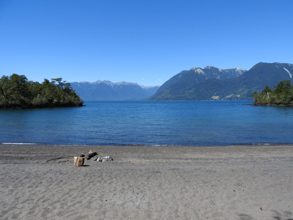
There was basic information about the trails online, but no map of any kind – so when we arrived at Todos Los Santos Lake (where the bus drops you off), we went straight to the map to see how it worked. We were surprised to find that both the trails started more than 4km from the park entrance… hmmm.. then we noticed that Sendero Rincón del Osorno, joined the Sendero Los Alerces… and at the end of that trail there was a track marked with no name, which went along the lake shore, and said it was ‘passable in summer’… well February is definitely still summer…
So, to cut a long story short, we did a loop which was the first 4km of Paso Desolación, then the 5km of Sendero Rincón del Osorno, then the 3.4km of Sendero Los Alerces, and then finally around 3km back along the lakeshore on the ‘trail with no name that can be walked in summer’ – so around 16km – not too far off what we expected.
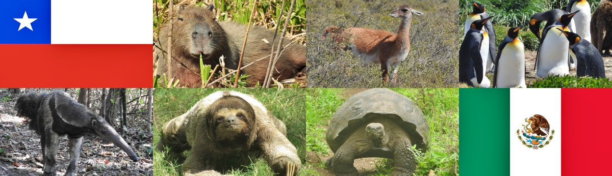
Well, that’s enough of the boring technical details – let’s look at some pictures of the volcano 🙂 (yes, we like taking pictures of the volcano…)
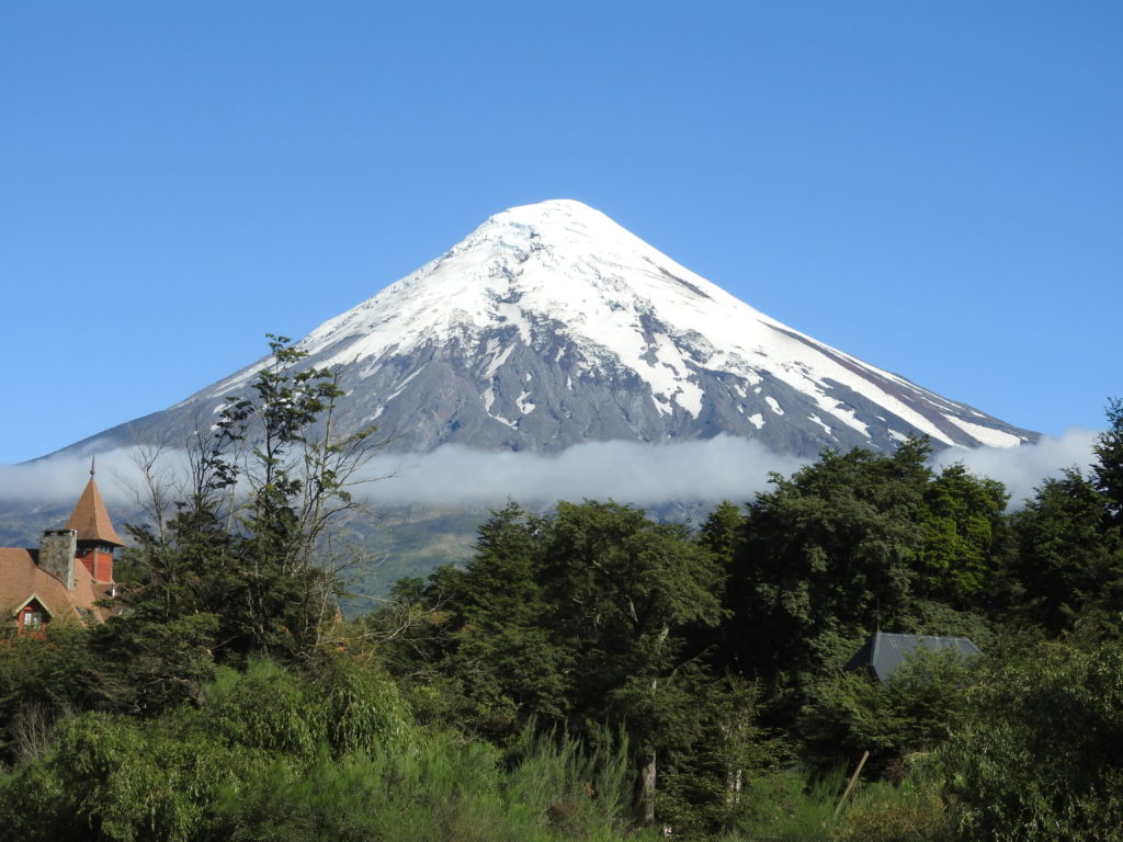
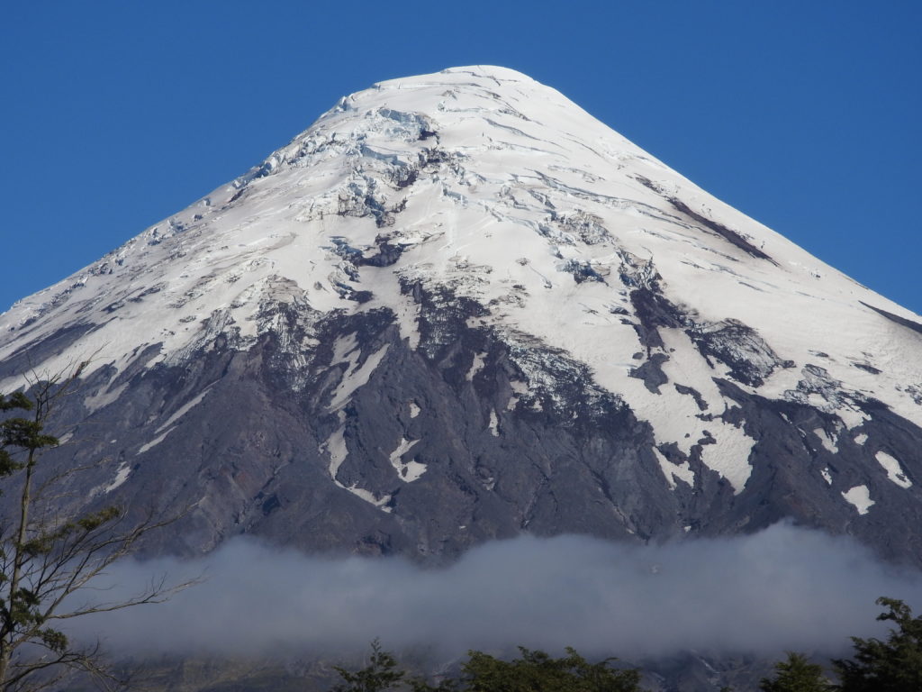
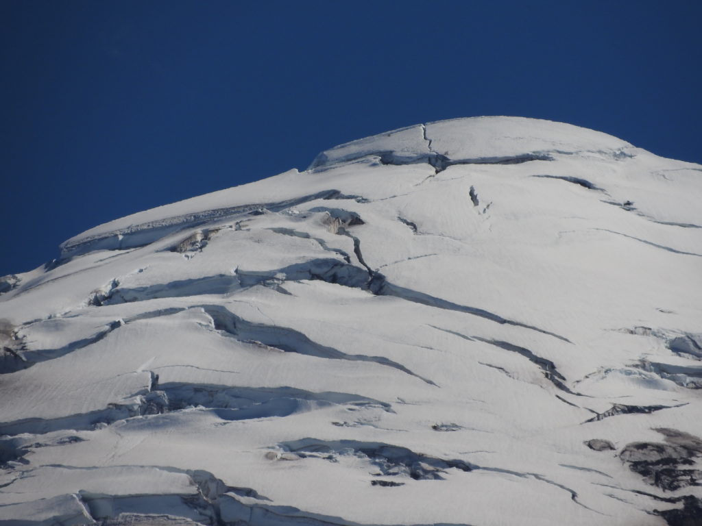
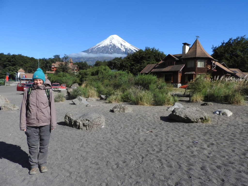
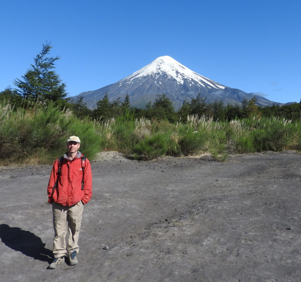
I never got tired of looking at this volcano, so hopefully after only four pictures of the volcano, you still want more… 🙂
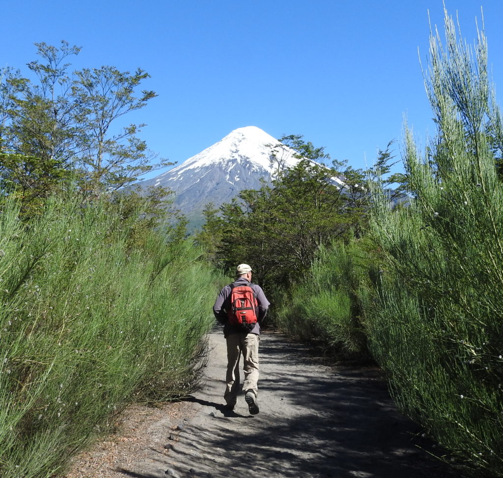
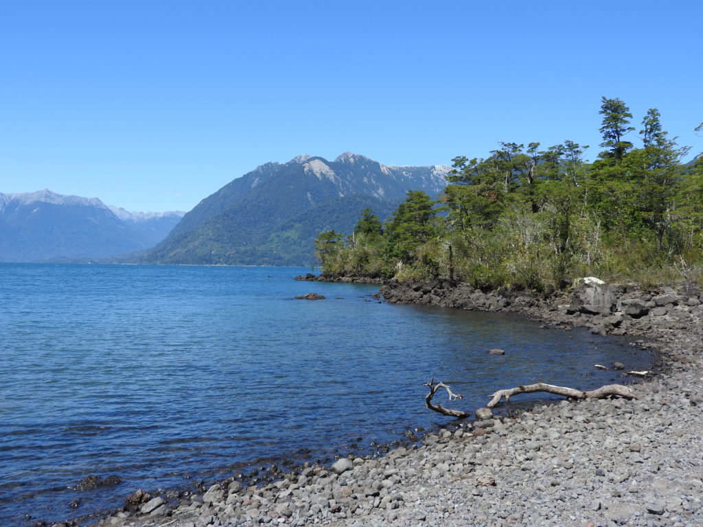
So… about the walks…we set off from the end of the bus route at Todos Los Santos Lake, and the first 4km were through some forest.
Once we came out of the forest, we were in fairly open bush, with volcanic ash/sand to walk on – it made the walking a little slow-going – like walking on sand.
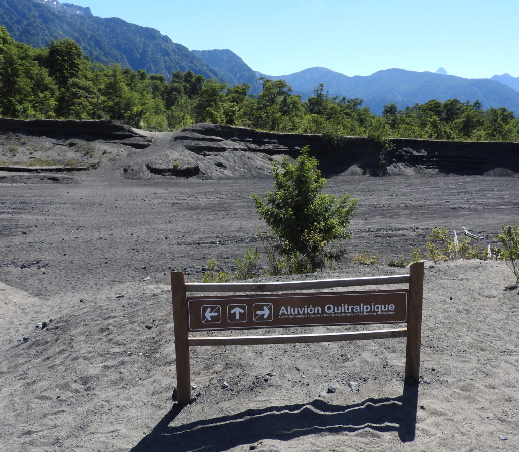
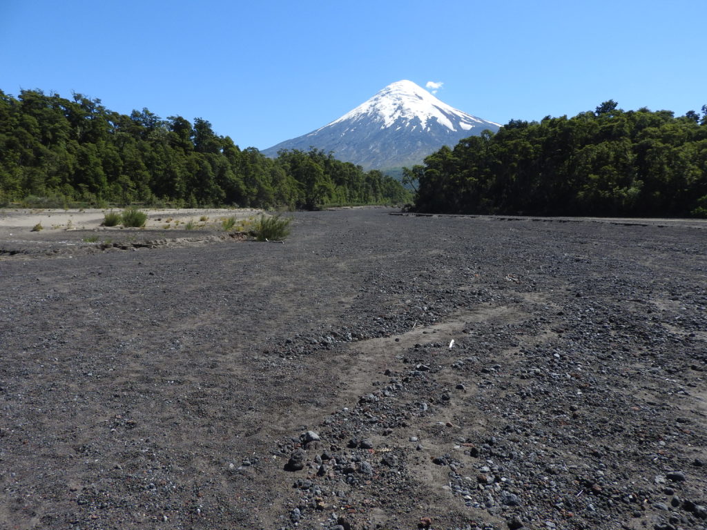
The track crossed several ‘aluvións volcánicos’ – an ‘aluvión volcánico’ is what is left behind when a Lahar occurs – a Lahar is an Indonesian word meaning a ‘volcanic mudflow’. Bascially, when a volcano errupts the lava mixes with the snow, debris, and other stuff and creates a high-speed mix of everything that destroys all things in its path. Apparently they can sometimes occur without even a proper eruption, and they travel faster than a person can run… they are very scary indeed… if you didn’t read the wiki page about Lahar – then I reckon you should read it – and then you can feel relieved that you don’t live near a volcano (unless you happen to live near one…. in which case, maybe don’t read it….)
Anyway, the lahars on this volcano happened a long time ago – as it’s not a very active volcano – but the destruction they left behind is still very visible.
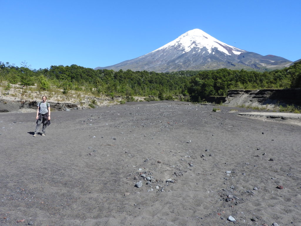
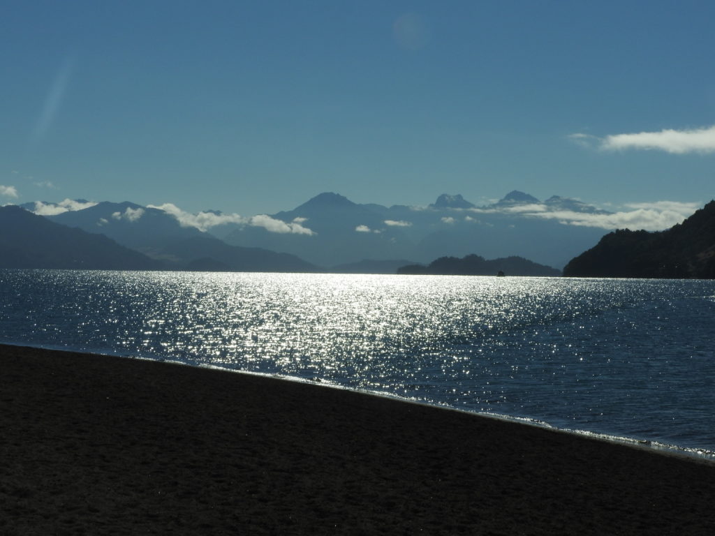
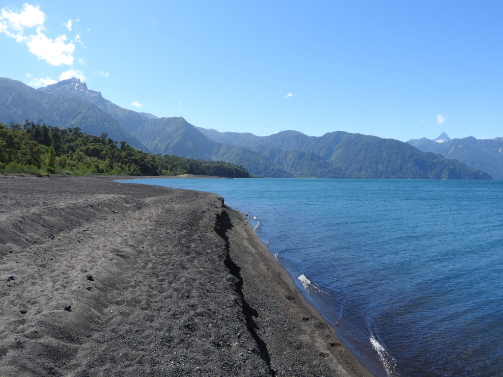
It was a very enjoyable walk on the volcano, the trail(s) crossed several more alluvial channels, and then ended up back down on the shore of the lake.
After following the shore of the lake for a while, the trail goes past the bottom of the same channel that we crossed earlier (Aluvión Quiltralpique)
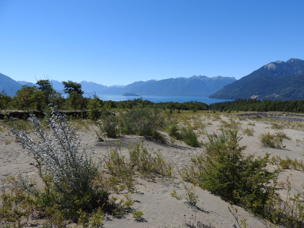
The final 1km or so was directly along the edge of the lake, which was a very pleasant way to get back to the park entrance.
And that was it! A great day of walking – with lake and volcano views all round! 🙂 🙂 🙂