Quilotoa Loop – Chugchilan to Quilotoa – Day 3
It was time for the last leg of the journey! This one would be the most difficult – after the usual ‘down then up’ traverse of the valley, we would need to ascend the volcano crater – going from around 2900m altitude to 3914m…
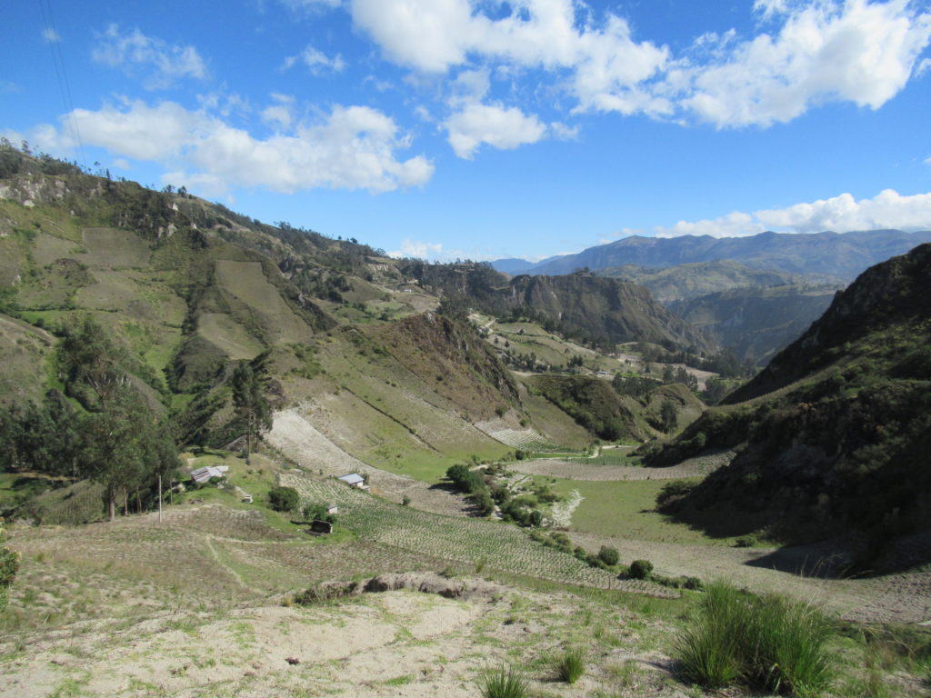
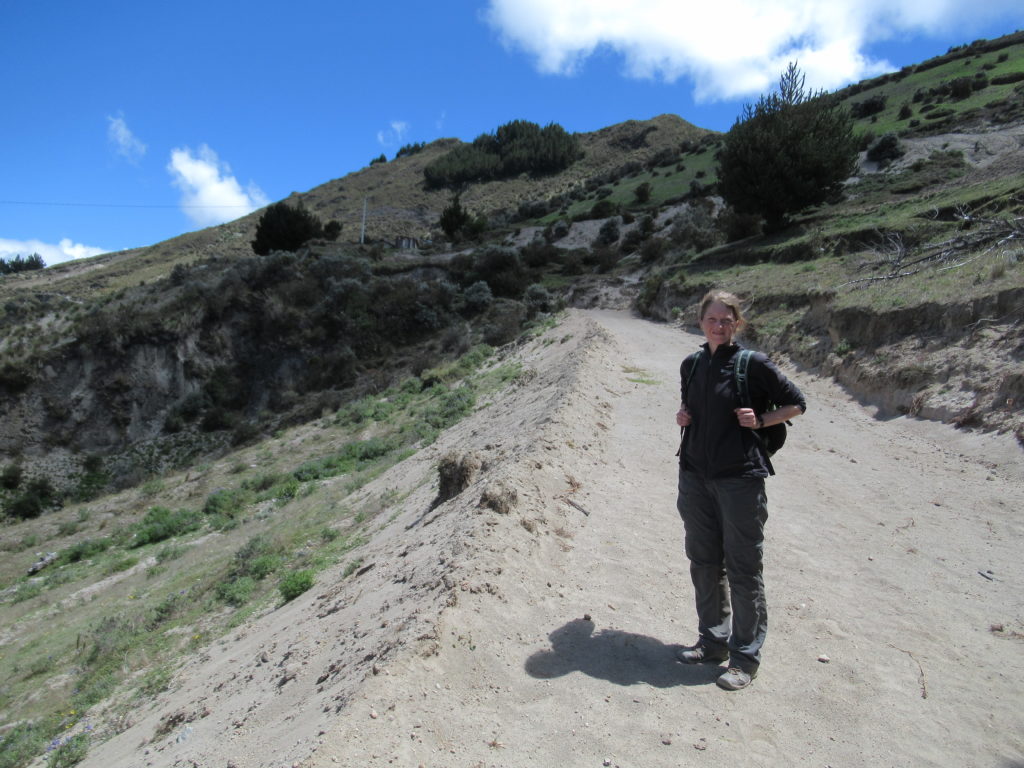
Today’s walk supposedly could take up to 7 hours?!… so we were on the trail bright and early (for us 😉 ) at 8.35am.
It only took around 30 minutes for us to get slightly lost – but we weren’t the only ones – we saw a couple of other walkers going round in a big circle. Handily, a local lady walked past and we asked her the way. She pointed us down a very narrow, rocky track – so off we went.
I mentioned to CC that when locals tell you which way it is, they always send you the most direct way – even if it is steep, muddy, slippery, and next to dangerous cliff edges….:-) In this case though, the trail was a bit rough – but no disasters – and we soon found ourself back on a more major looking trail.
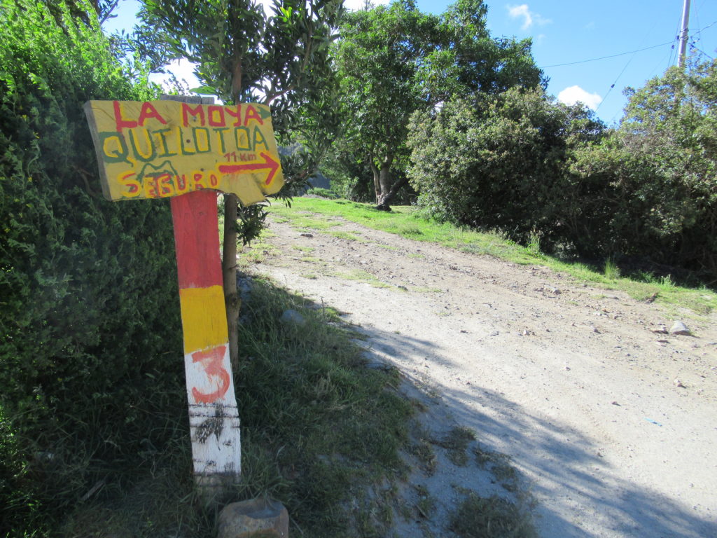
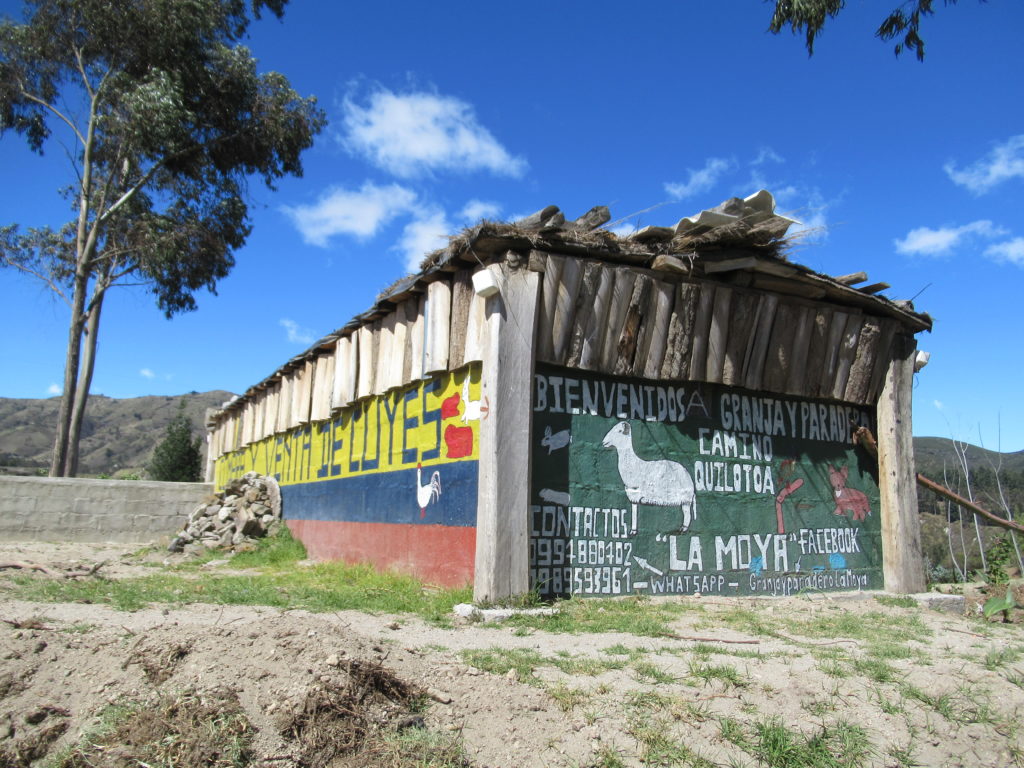
For the middle section of today’s walk, there were two different route options – one was called ‘ADVENTURE’, and the other was called ‘SAFE’! Apparently the ‘ADVENTURE’ section was a bit risky at the moment (the trails change a lot as there are a lot of landslides when it rains) – so we went for ‘SAFE’ – yes, chickens aren’t we? 🙂
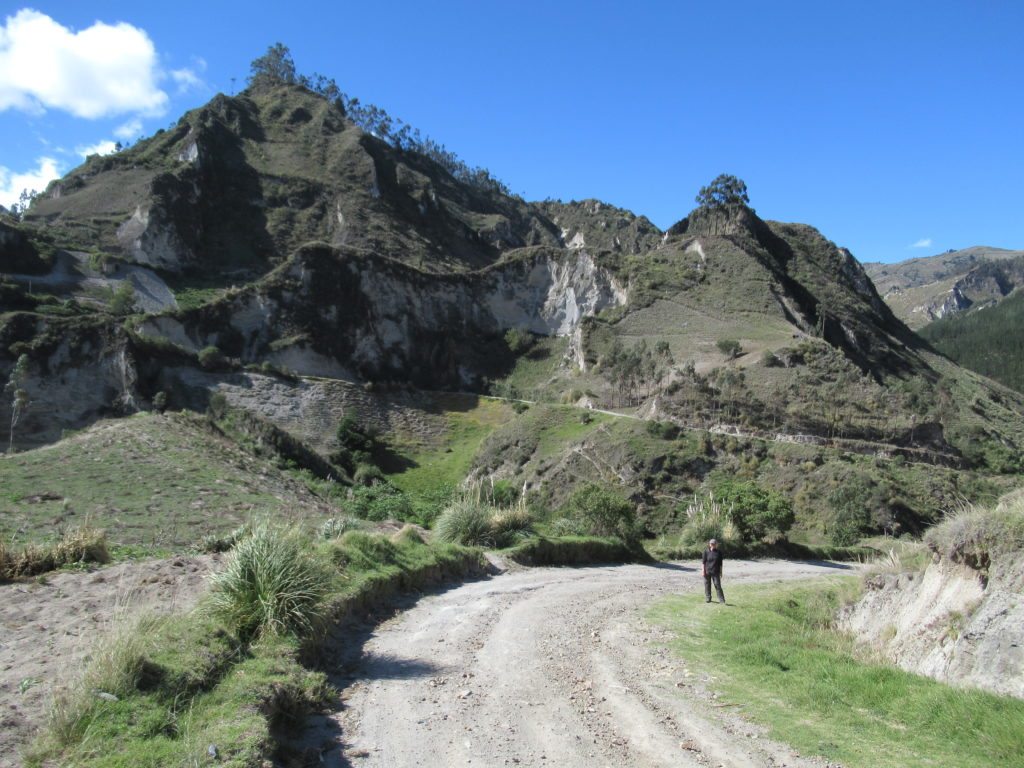
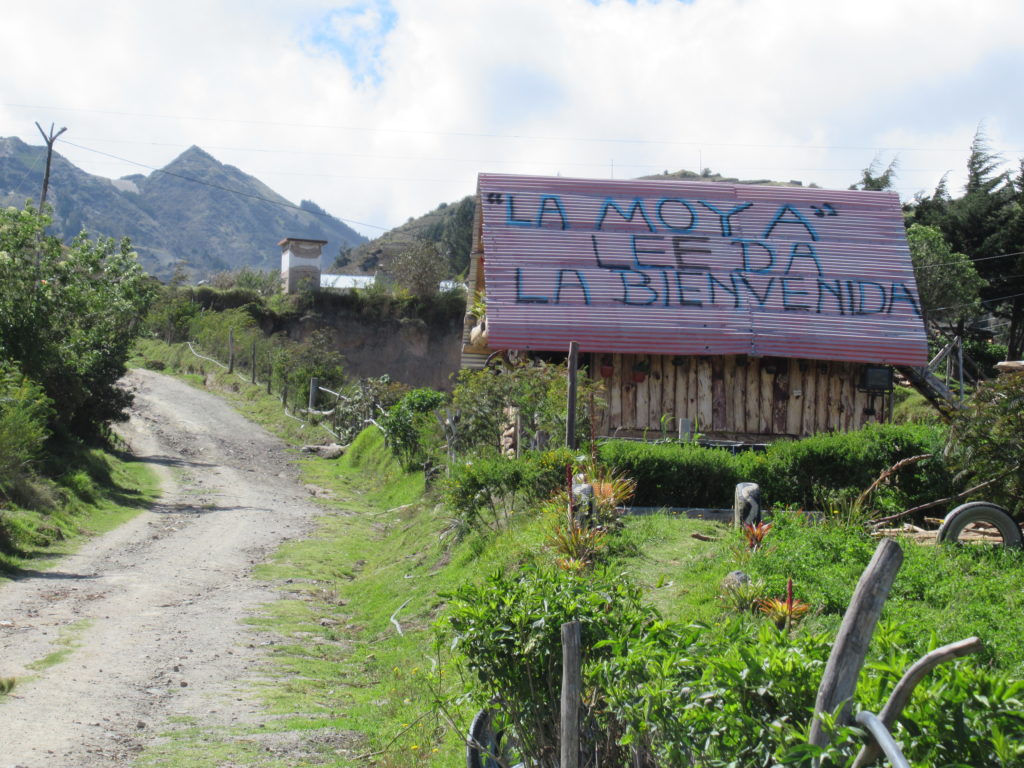
After La Moya, we somehow managed to miss a vital, signposted turning… clearly today we weren’t paying enough attention! Having worked out where we had gone wrong, we managed to find a track that cut back across to the correct trail – so we didn’t have to backtrack down the road. I thought that this was an excellent demonstration of our superior navigation skills…. 🙂 But CC pointed out that we had missed the correct turn in the first place… yes, I suppose that’s a good point….
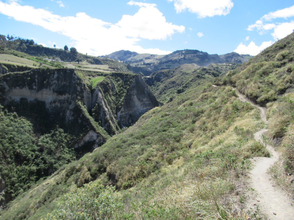
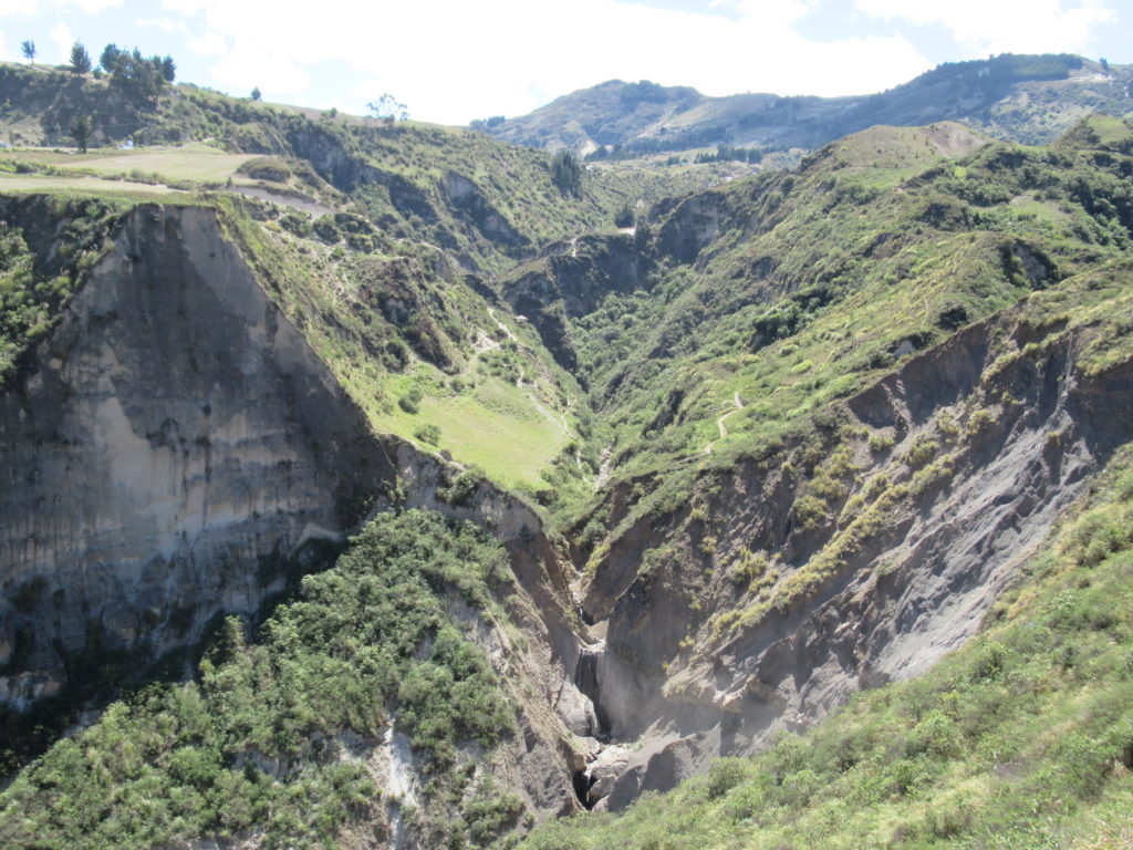
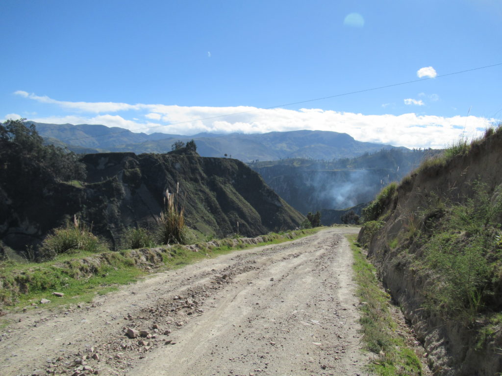
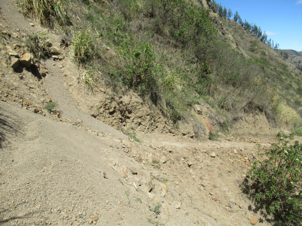
We were making pretty good progress along the side of the steep valley, when suddenly we came across a landslide blocking the trail… OH NO! The path was blocked…. 🙁 It was a VERY steep drop off the side of the trail, and the trail was covered in a pile of slippery rocks and dust.
It was a pretty small landslide – about 3 metres wide – therefore we only had to walk across three metres of slippery dust and rocks to safety. So… we decided to go for it…. there was no going back now! It was a little bit scary – but we made it across easily, and congratulated ourselves! 🙂 🙂 🙂
We took a picture of the landslide, but in the picture you can barely see it! I promise you it was a lot more scary than it looks! 🙂
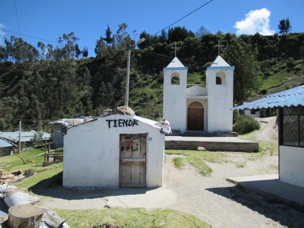
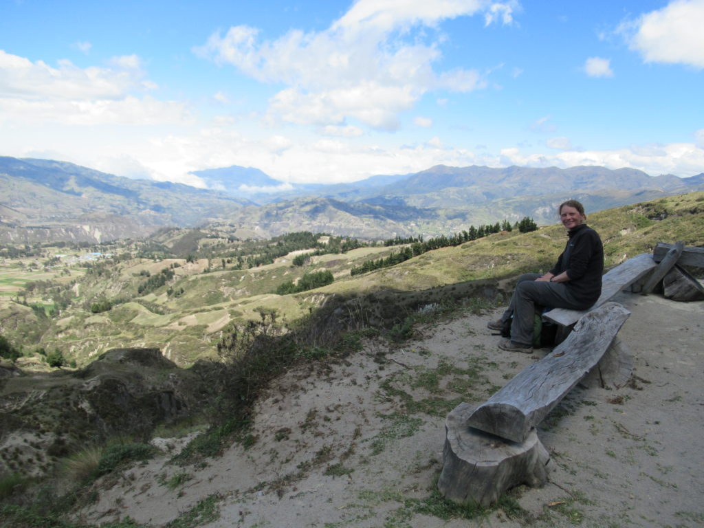
There was one final village before the VERY LONG uphill slog to the top of the crater – the village of Guyama Grande – this one had a church.
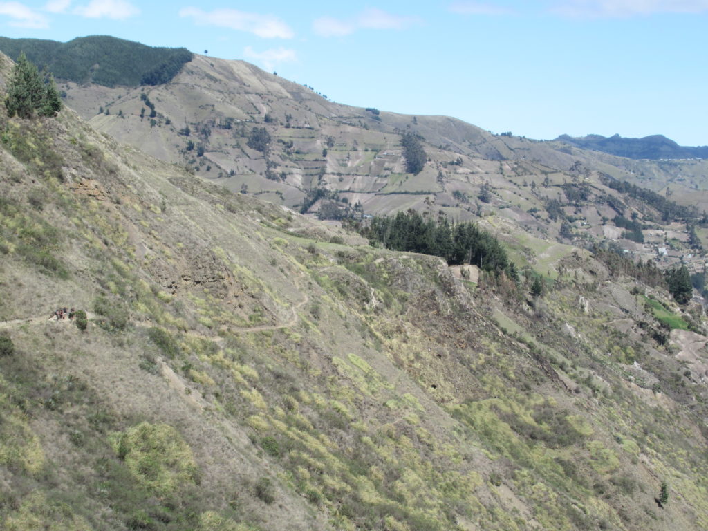
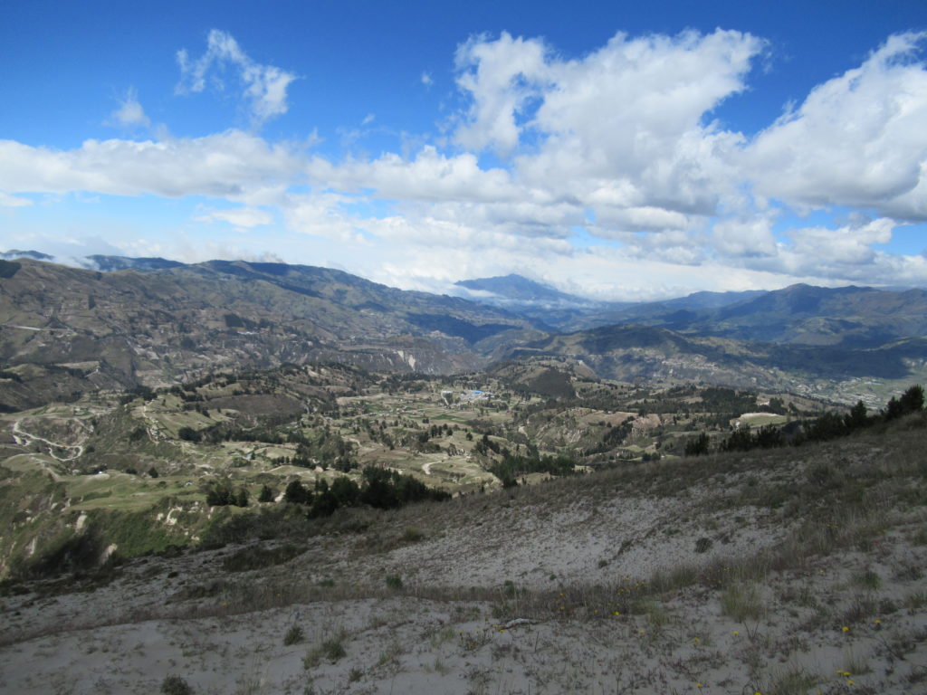
The track up to the volcano crater was LONG, SANDY, AND TIRING. It was very windy, and the volcanic sand was pretty hard to walk on. We ploughed on relentlessly, as the air got thinner and we got more and more tired. The views back down the valley were pretty good, and we had plenty of rest stops. It took us around two hours of uphill walking to get to the crater – including a brief lunch stop. This section was probably the hardest of the three days.
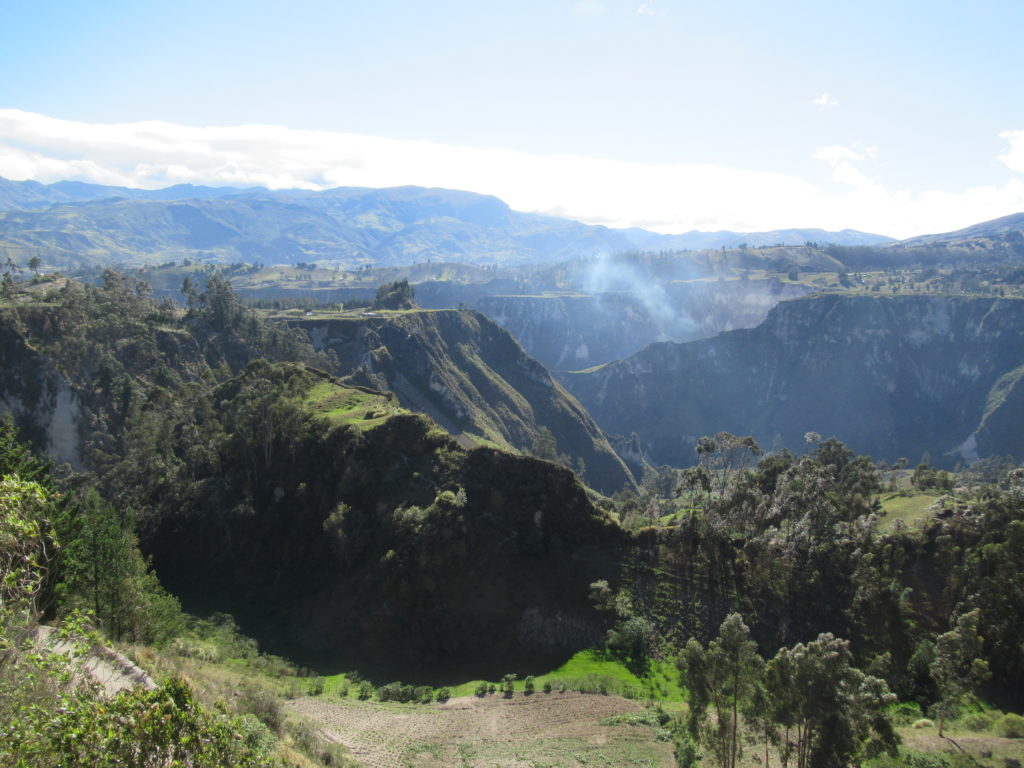
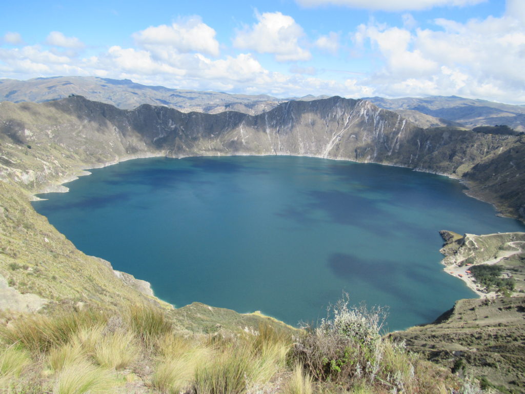
FINALLY, 4 hours and 45 minutes after we left Chugchilan, we reached the top of the volcano, and peered into the crater…
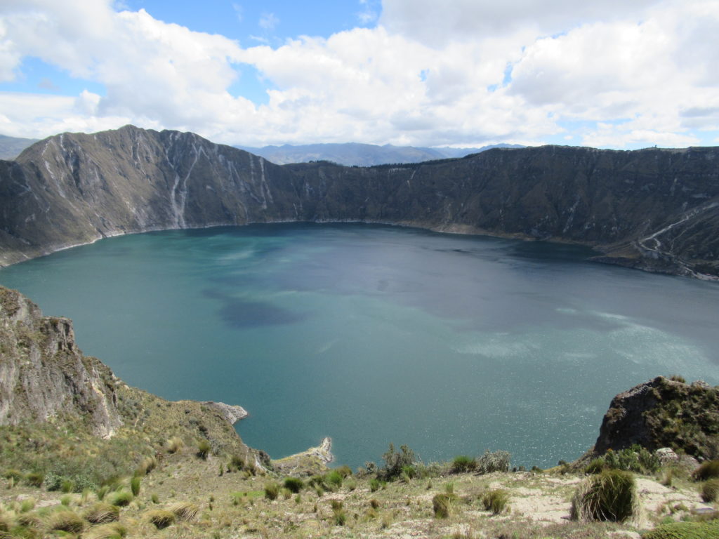
It was a pretty spectacular sight to suddenly be looking over the edge of the volcano, and into the crater! Despite the uphill climb, we were glad that we had chosen to do the walk in this direction.
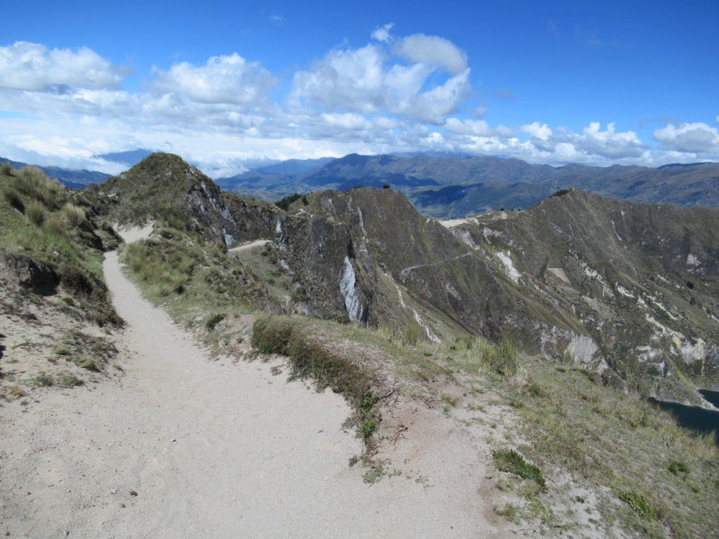
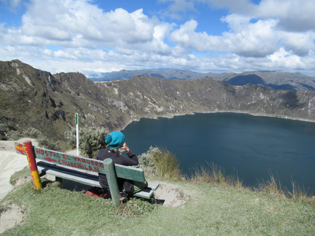
At the top, there were some locals selling drinks – so we sat by the crater and had a celebratory refreshment. HOWEVER… the walk was not over… when you come from this direction, you arrive at the opposite side of the crater from Quilotoa town – so you have to walk around the crater to finish the walk.
This was fine with us – a bit more of a walk, and views of the crater from different angles. According to the map, it would take around an hour and a half to walk along the rim to Quilotoa – so off we went!
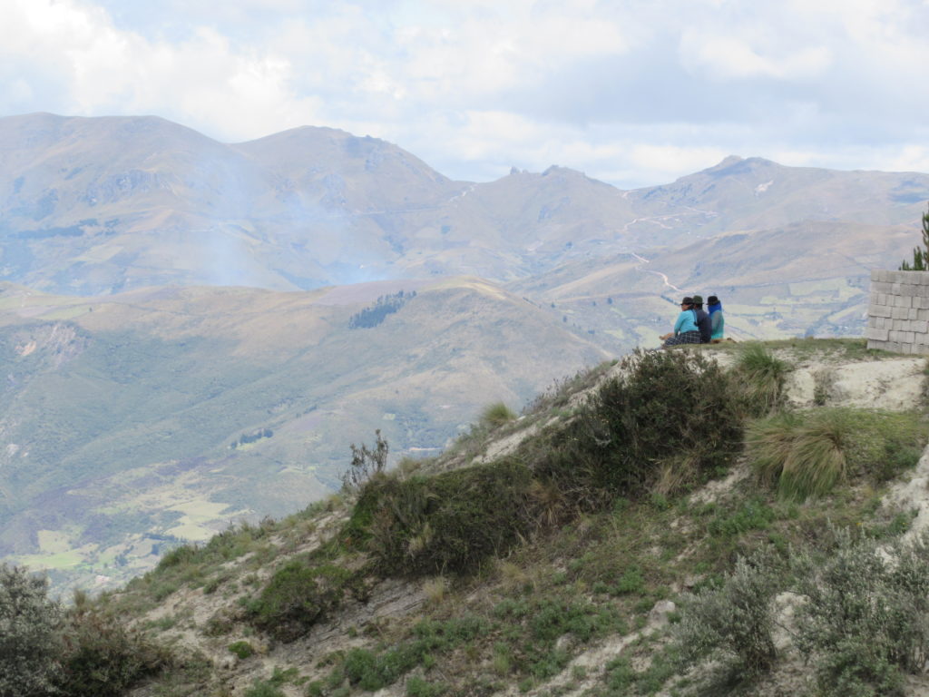
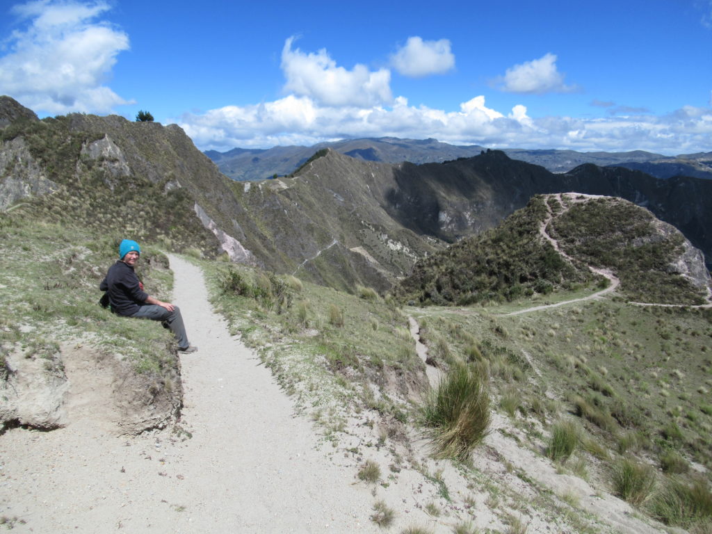
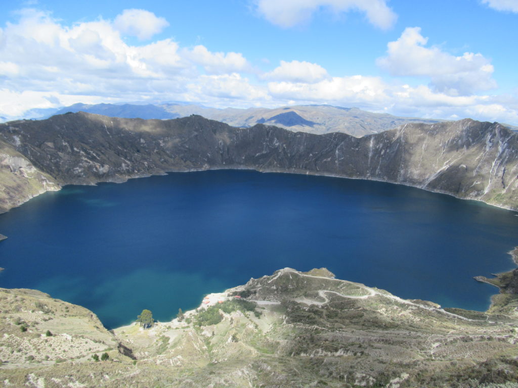
The path along the rim weaved in and out of forest – sometimes with views of the lake, and sometimes not – it was a really nice trail – although it was VERY WINDY at times.
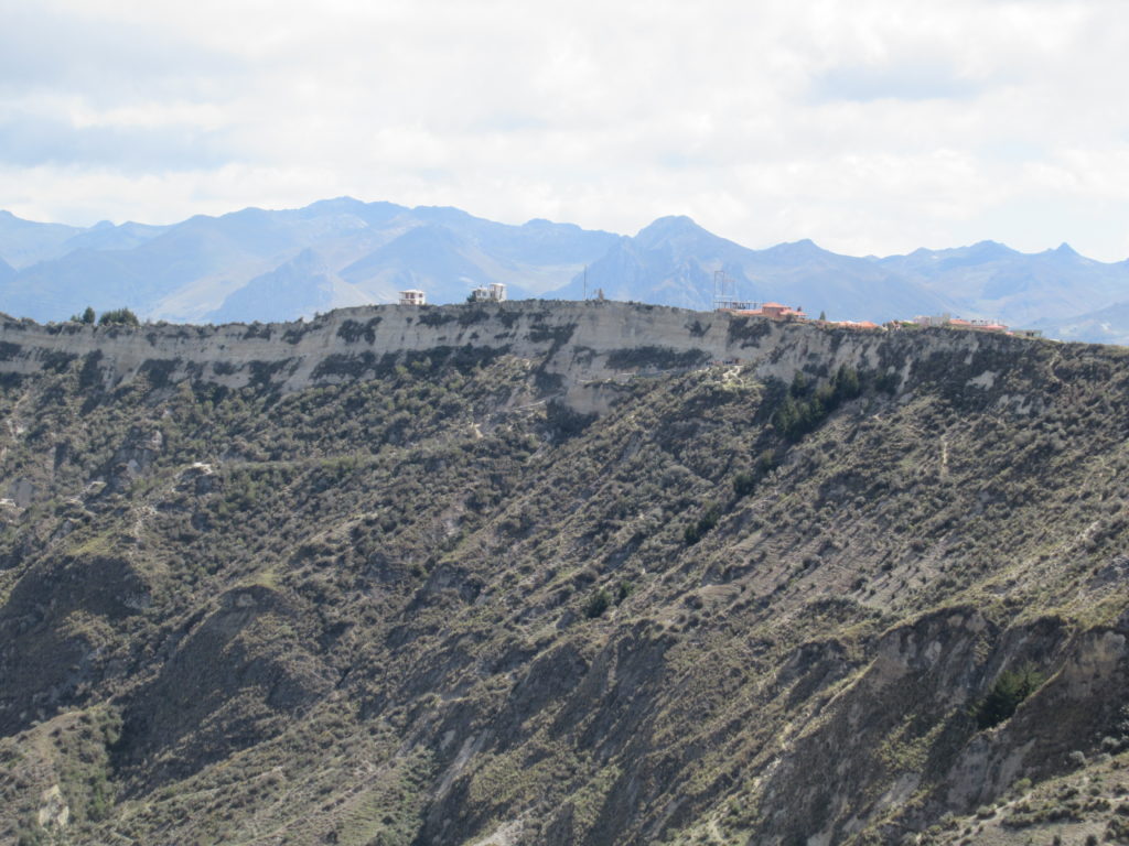
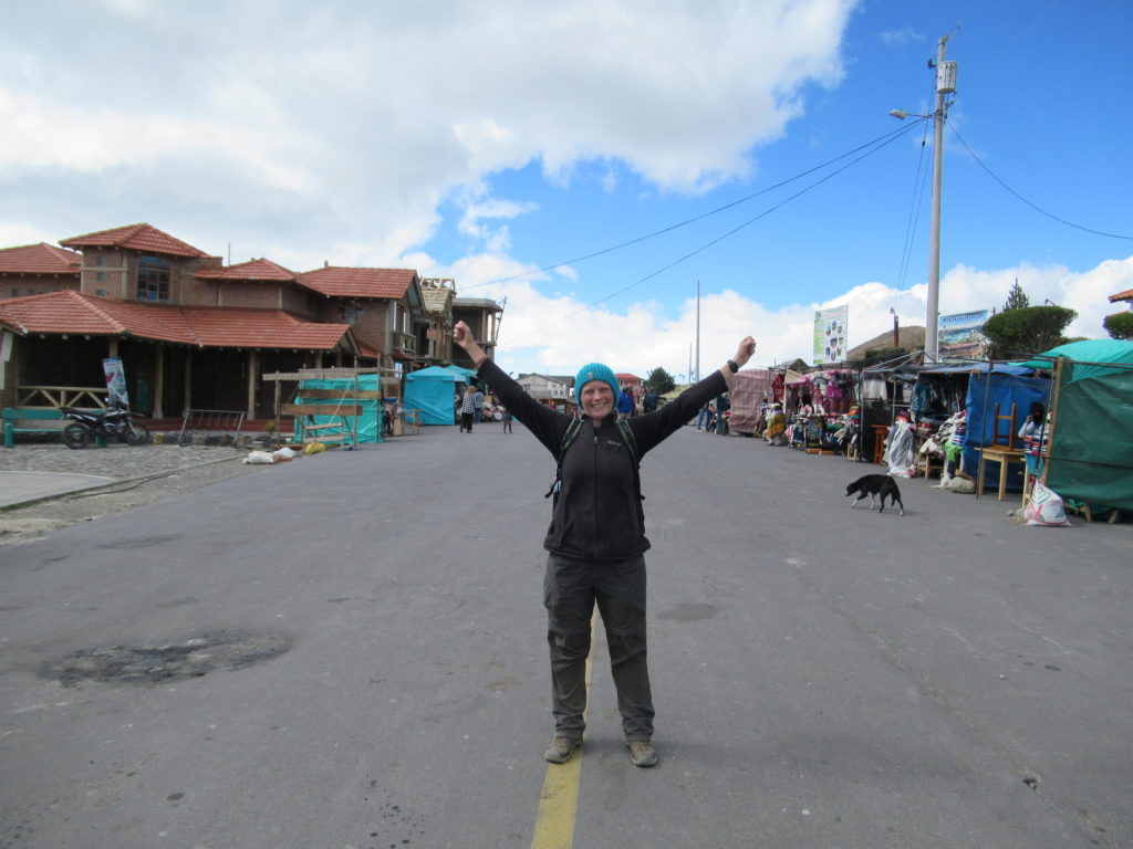
After around 90 minutes, we arrived in the village of Quilotoa – altitude 3914m – WE HAD DONE IT!
Today’s walk had taken around 6 and a half hours – so across the three days the total walking time had been around 14 hours – with plenty of food and drink breaks.
It had been a really enjoyable three days. There hadn’t been a single drop of rain – which is REALLY unusual – we felt very lucky. The hostals had both been excellent, and we hadn’t gotten lost or bitten by a dog! We voted the walk a big success – especially the ‘not being bitten by a dog’ part – which had been CC’s biggest worry!
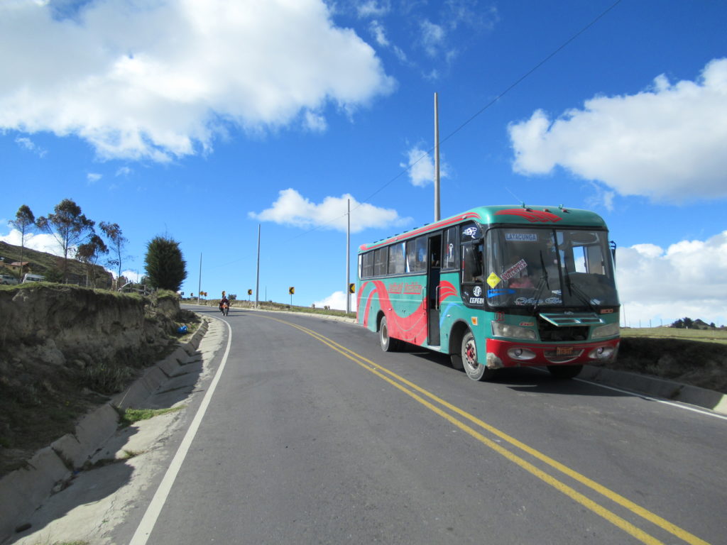
All we had to do now, was take the bus back to Latacunga…